High Rip Current Risk Prompts Warnings for Jacksonville Beaches Through Wednesday Morning
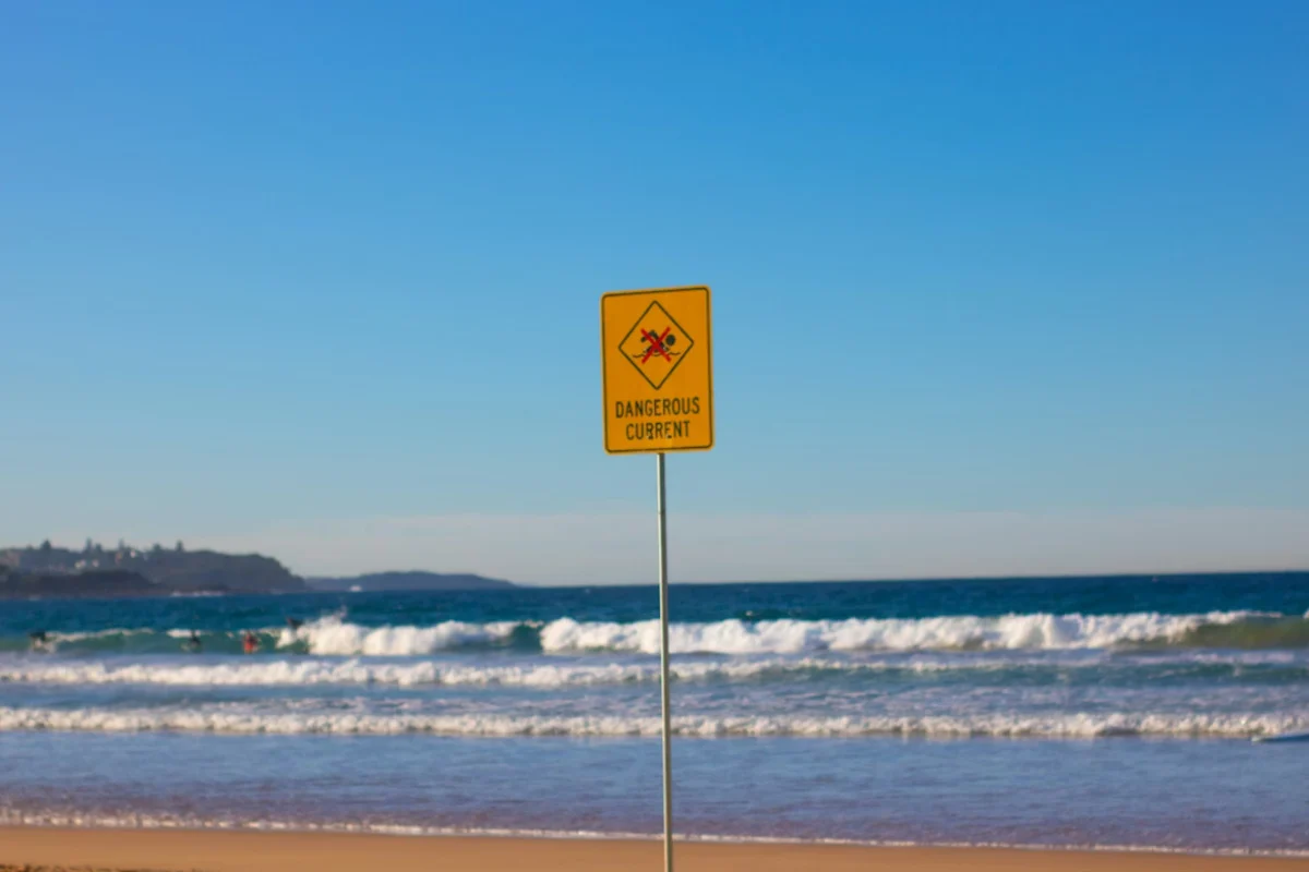
The National Weather Service in Jacksonville has issued a rip current warning for Northeast Florida beaches, effective through Wednesday, May 20, 2026, at 5:00 a.m. EDT. Weather officials warn that persistent onshore winds and surf heights of two to four feet will create dangerous, choppy conditions along the coast.
Temperatures on Tuesday, May 19, are expected to reach the mid-to-upper 80s near the coast, while inland neighborhoods could see temperatures rise into the low 90s. East winds are forecast to strengthen throughout the day, with gusts reaching up to 24 mph. The brisk breeze has prompted advice for residents and visitors to secure lightweight outdoor items and tie down beach umbrellas.
Lifeguards are advising beachgoers to swim only near staffed lifeguard towers and to avoid swimming alone. If caught in a rip current, officials instruct swimmers to float and signal for help rather than fighting the current. Meanwhile, inland areas may experience patchy dense fog during the early morning and late-night hours, which could slow commutes. Widely scattered afternoon showers or isolated thunderstorms remain possible inland later in the week.


Sign in to join the conversation
LOGIN TO COMMENT