Jacksonville Faces Intense Heat Wave as Storms and High Surf Advisory Create Dangerous Beach Conditions
Residents urged to prepare for extreme weather with soaring temperatures, afternoon storms, and hazardous surf
Jacksonville is enduring a stretch of severe summer weather that combines sweltering heat with the threat of afternoon thunderstorms and dangerous surf conditions along area beaches. The forecast warns not only of rising temperatures but also of heightened risks for those planning to head to the coast.
Rising Temperatures and Heat Index
Temperatures across Jacksonville are expected to climb into the mid-90s, with heat index values pushing up to 102 degrees. Residents are advised to limit outdoor activities during peak afternoon hours and stay hydrated as the heat continues to bear down on the city.
Afternoon Storms on the Horizon
Showers and thunderstorms are likely to develop after 2 p.m., with a 50 percent chance of precipitation. While rainfall amounts may remain light in many areas, localized storms could bring heavier downpours. Wind gusts reaching up to 17 miles per hour are also anticipated, adding to the unsettled conditions.
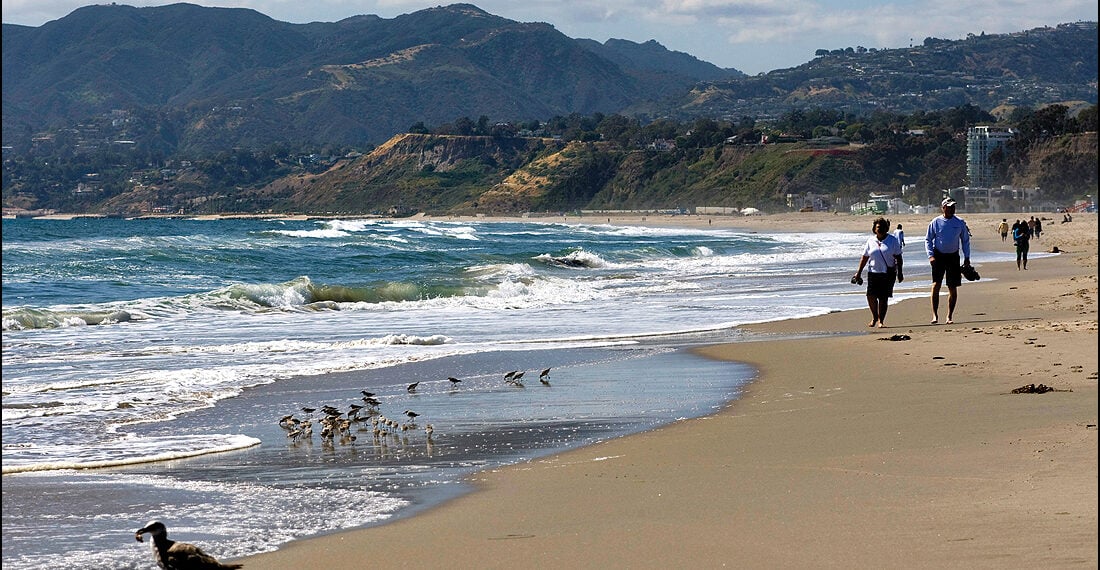
Dangerous Beach Conditions
The more pressing concern for beachgoers is a High Surf Advisory currently in effect, paired with a high rip current risk that extends into Friday evening. Waves are expected to reach heights of 5 to 8 feet along Northeast Florida beaches, creating extremely hazardous swimming and surfing conditions as well as the possibility of localized beach erosion.
Officials warn that rip currents have the power to pull even strong swimmers away from shore into deeper waters. Visitors are urged to exercise extreme caution, avoid entering the water if inexperienced, and be prepared to signal for help if caught in a current. Swimmers are reminded to stay calm, float, and swim parallel to the shore to escape the pull rather than exhausting themselves by fighting against it.
Extended Forecast
The unsettled weather is expected to continue into the weekend. On Friday, the chance of storms rises significantly, with precipitation likely after 2 p.m. and temperatures peaking near 92 degrees. Heat index values could climb even higher, possibly reaching 103 degrees.
This pattern of afternoon storms is forecast to persist through much of the week ahead, with daily showers and thunderstorms keeping the region on alert. By Monday, the likelihood of rainfall eases slightly, allowing for more periods of sunshine, though additional showers remain possible.
Staying Safe in Jacksonville’s Summer Weather
With the combination of high heat, strong storms, and dangerous surf, residents and visitors alike are encouraged to take safety precautions seriously. Staying indoors during peak heat hours, avoiding the water under hazardous surf conditions, and preparing for sudden thunderstorms will be essential to navigating Jacksonville’s turbulent weather over the coming days.


Sign in to join the conversation
LOGIN TO COMMENT