Chicago Faces More Storms as Severe Weather Threat Persists Through the Weekend
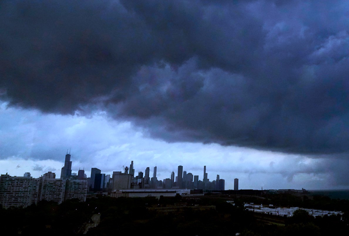
An active and unsettled weather pattern continues to grip the Chicago area, bringing waves of thunderstorms, heavy rainfall, and oppressive humidity that are expected to stretch into the weekend. While a brief reprieve is possible during parts of the day, forecasters warn that additional rounds of severe weather remain likely.
On the morning of Friday, July 12, 2024, morning showers and thunderstorms swept across the region, prompting a temporary ground stop at O’Hare International Airport. The Federal Aviation Administration confirmed the ground stop expired at 8:15 a.m., but the effects were already felt—nearly 200 flights were canceled in the last 24 hours, and delays are averaging 15 minutes as of early Friday.
Though the Flood Watch issued earlier had been lifted by 7 a.m., scattered thunderstorms are still possible throughout the day. Meteorologists say the risk for severe storms will increase again late this afternoon and evening, bringing the potential for damaging winds, localized flooding, and intense lightning.
Rainfall has been significant across the metro region, with widespread totals of one inch, and higher amounts—ranging from 2.5 to 4.5 inches—recorded in northern Kane County, northwestern DuPage County, and southwestern McHenry County. The heaviest downpours so far have occurred near Rockford and northern Winnebago County, where localized flooding may persist.
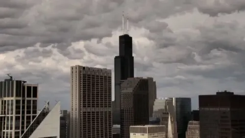
Today’s high temperatures are expected to be held down slightly by cloud cover, but humidity will remain high, with daytime highs reaching the mid to upper 80s. Any storm activity is forecast to diminish late tonight, long after dark.
Looking ahead to Saturday, forecasters say a morning shower is possible, but the main threat will return later in the day. The southern portions of the region are expected to see the strongest storm activity by late afternoon or early evening. Some of these storms could once again turn severe.
Temperatures on Saturday will stay in the mid 80s, accompanied by muggy conditions.
The outlook for Sunday and Monday appears more favorable, with dry skies and warmer temperatures, reaching into the mid 80s to low 90s. However, the relief will be short-lived as the heat and humidity rebuild by Tuesday and Wednesday, when the daily risk of thunderstorms returns to the forecast.
Residents are advised to stay updated on the latest weather alerts, especially as conditions can change quickly during this volatile summer storm pattern.


COMMENTS (0)
Sign in to join the conversation
LOGIN TO COMMENT