After Weeks of Gloom New York Braces for a Burst of Summer Heat
A Gray Start to June Begins to Shift
The early weeks of June in New York City have been marked by gray skies, damp weekends, and fleeting glimpses of sunshine. Residents have grown used to the pattern—cool, wet Saturdays and Sundays bookending brief midweek warm-ups. But this week brings a welcome change as the weather begins to pivot, signaling the end of the stubborn spring chill and ushering in the long-awaited arrival of summer.
Unseasonably Cool Start to the Week
The week began with yet another gloomy Monday, continuing the trend of overcast skies and cooler-than-average temperatures. A persistent easterly wind kept highs around the low 70s—more than ten degrees below the seasonal norm for mid-June.
Tuesday will remain on the cooler side, but change is in sight. As winds shift from the east to the south by Wednesday, a much warmer air mass will begin to settle over the region.
Midweek Heat Set to Surge
By Wednesday, temperatures are expected to climb into the 80s, breaking the cycle of subdued warmth. The real heat arrives Thursday, when a strong southwest wind could drive temperatures close to 90°F across New York City.
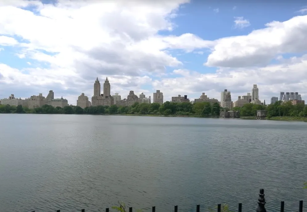
This year, Central Park has repeatedly fallen just shy of that 90-degree mark, even as surrounding areas have reached it. The warmest day in the city so far topped out at 87°F, making this week’s heat surge a potential milestone. Historically, Central Park experiences its first 90-degree day around May 28. If the city reaches that threshold later this week, it will be more than three weeks behind schedule.
Humidity Returns to the Forecast
The midweek heat won't come alone. For the first time this year, New Yorkers will also feel the weight of summer humidity. Dew points are expected to climb toward 70°F, pushing conditions into the “oppressively sticky” category. Combined with highs in the 80s and 90s, the result will be a hot and muggy atmosphere—very different from the mild and breezy spring days that have defined the season so far.
A few showers and thunderstorms may accompany the heat midweek, adding to the tropical feel. However, any rainfall is expected to be scattered, and the bigger story is the extended stretch of dry, sunny weather ahead.
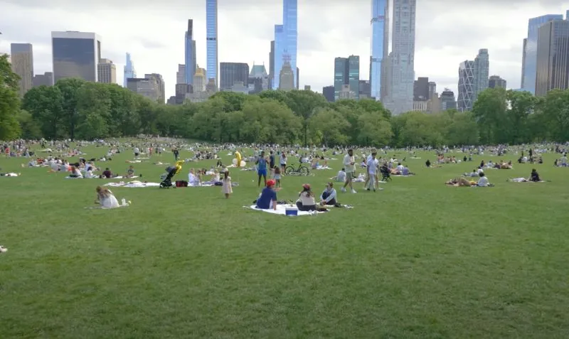
A True Summer Weekend in Sight
The biggest change arrives just in time for summer's official kickoff. This weekend, for the first time in two months, New York is expected to enjoy a completely dry Saturday and Sunday. A strong dome of high pressure will build over the eastern U.S., blocking out storm systems and allowing sunshine to dominate.
Gone are the days of stationary fronts bringing persistent drizzle. Instead, clear skies and soaring temperatures will define the weekend—and potentially beyond.
Looking Ahead to a Possible Heat Wave
As we head into next week, the forecast suggests multiple days with highs reaching or surpassing 90°F. If the trend continues, the city could experience its first heat wave of the year—defined as three or more consecutive days at or above 90°F.
This shift in weather comes at the perfect moment. The official start of summer falls on Friday, and the forecast is finally aligning with the calendar. After weeks of spring-like chill and cloud cover, New Yorkers can look forward to a stretch of classic summer conditions—hot, sunny, and dry.
Final Thoughts
New Yorkers have waited patiently for the sun to make its grand entrance, and it looks like their patience is about to pay off. With temperatures rising, humidity building, and blue skies taking over, summer is finally here to stay. Whether you're heading to the park, planning a beach trip, or just enjoying a walk in the warmth, this is the moment the city has been waiting for.


Sign in to join the conversation
LOGIN TO COMMENT