Chicago Region Braces for Two Rounds of Severe Storms and Potential Tornadoes Wednesday
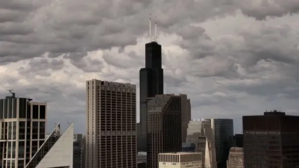
The National Weather Service has warned of a powerful storm system moving into the Chicago area on Wednesday, bringing the threat of a dangerous outbreak of damaging tornadoes, heavy rain, and flash flooding. The severe weather threat comes just days after a previous storm system produced 17 confirmed tornadoes across northeast Illinois.
According to NBC 5 Storm Team Meteorologist Alicia Roman, the active weather is expected to arrive in two distinct rounds on Wednesday, with temperatures remaining in the 70s. The first round, forecast from early Wednesday morning through the early afternoon, will bring widespread showers, heavy downpours, gusty winds, and localized flooding. During this initial wave, most of the Chicago area will face a level-two "slight" risk of severe weather, while Ottawa, Kankakee, and northwest Indiana will be under a level-three "enhanced" risk.
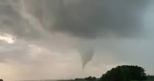
A second, more severe round of storms is projected to develop after 3 p.m. and last through Wednesday evening. Roman stated that all weather hazards will be possible during this timeframe, including strong tornadoes, damaging hail, and destructive winds. The Storm Prediction Center has placed the entire Chicago area under threat through 9 p.m., with Chicago, northwest Indiana, and western counties facing an enhanced risk.
The greatest threat is concentrated in central Illinois and parts of northwest Indiana—including Kankakee, southern Will, and southern LaSalle counties—which are under a level-four "moderate" risk. The National Weather Service warned that torrential rainfall could dump one to three inches of rain in a short period, leading to flash flooding and low visibility, and advised residents in flood-prone areas to prepare immediately.


COMMENTS (0)
Sign in to join the conversation
LOGIN TO COMMENT