Chicago Braces for Severe Storms With Potential 70 mph Winds and Tornado Threat
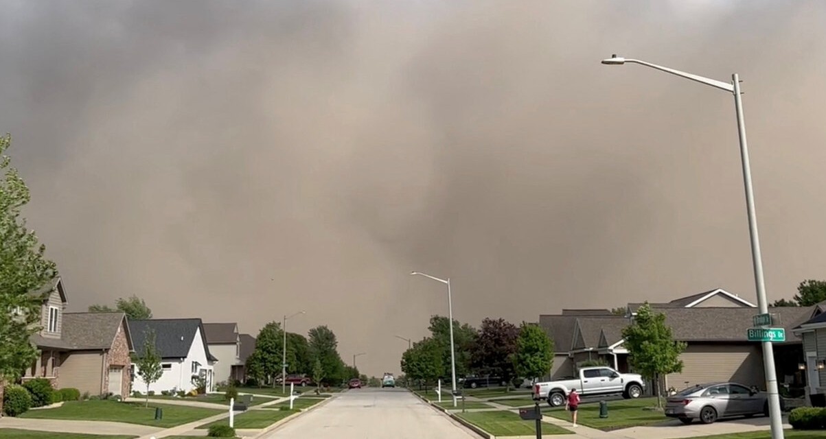
Severe storms are expected to hit the Chicago area Thursday, bringing the potential for damaging winds, heavy rain, hail, and the possibility of isolated tornadoes, according to the National Weather Service (NWS).
The NWS has indicated that the window for the most hazardous weather conditions will span from approximately 3 p.m. to 9 p.m., following preliminary rainfall already observed Thursday morning. Temperatures are expected to rise sharply from around 40 degrees at O'Hare International Airport at 8 a.m. to near 70 degrees later in the day.
The forecast warns of wind gusts reaching up to 70 mph and the chance for quarter-sized hail during the storm's peak. Northwest Illinois faces the highest tornado risk, but officials cautioned that isolated tornadoes are possible throughout the broader Chicago region.
A wind advisory is in effect for the Chicago area from 1 p.m. to 7 p.m., with authorities urging residents to monitor weather updates and take safety precautions if warnings are issued. Meteorologist Zachary Yack of the weather service emphasized the complexity of Thursday's weather, describing the event as a “typical springtime storm system” tracking from Kansas City into Iowa, placing Chicago on the warmer, more volatile side of the front.
While storms may persist into Friday, forecasters remain uncertain about their coverage over Chicago, citing the unpredictable movement of the weather front. Residents are advised to stay alert as conditions develop.


COMMENTS (0)
Sign in to join the conversation
LOGIN TO COMMENT