Tornado Watch Issued for Philadelphia Region Amid Severe Weather Threat
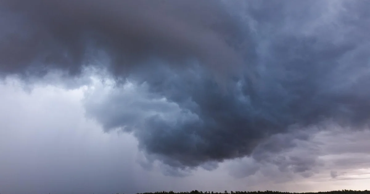
A Tornado Watch is currently in effect for much of the Philadelphia region as severe storms are expected to develop Tuesday evening. The National Weather Service has warned of potential downpours, damaging wind gusts, and the possibility of a brief tornado.
Residents can anticipate intense rainfall fueled by tropical humidity, which increases the risk of flooding. The high temperature for the day is forecasted to reach 79 degrees Fahrenheit.
As the evening progresses, lingering storms and high humidity are expected, with temperatures dropping to a low of 69 degrees. Looking ahead, Wednesday will bring a few breaks of sun with afternoon pop-up storms, and temperatures may rise to 81 degrees.
Forecasters indicate that Thursday will feature a mix of sun and clouds, with an isolated shower or storm possible, while Friday is expected to be the brightest day of the week with a high of 86 degrees. The weekend will start with partly sunny skies on Saturday, reaching 88 degrees, and late-day storms may develop on Sunday.
📰 Related Stories
- Philadelphia School Board Approves $200 Million Modernization Plan as Anonymous Donor Saves City Hall 'Portal' Stream Philadelphia • Oct 30, 2026
- Philadelphia Health Department Appoints Vector Control Lead as City Council Evaluates Long-Term Waste Contracts Philadelphia • Oct 29, 2026
- District Attorney Larry Krasner Charges Police Oversight Commission Chair in Witness Data Leak as DOJ Monitors Arrive Philadelphia • Oct 28, 2026
- Bruins Stun Blackhawks in 5-4 Overtime Comeback as David Pastrnak Surpasses Patrice Bergeron and Boston Launches Spooky Streets Boston • Nov 01, 2026